
Outdated Information
Google shows what was happening. Maps often lag by 20–30 minutes during peak chaos.
The real-time civic awareness layer for India's smartest cities.
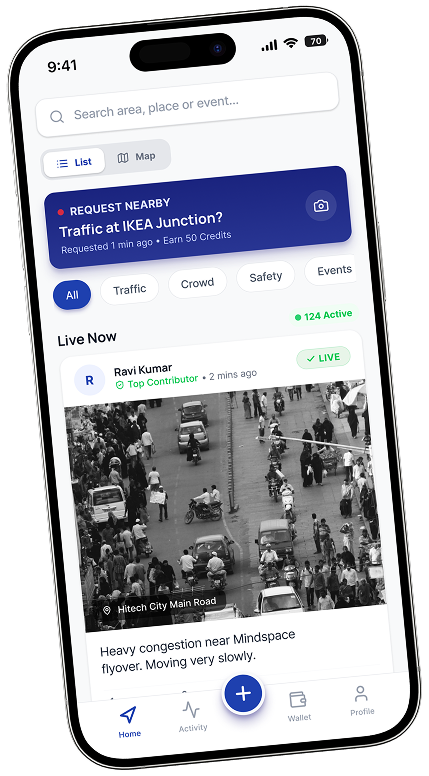
World shows us highlights
not Reality!
Google shows what was happening. Maps often lag by 20–30 minutes during peak chaos.
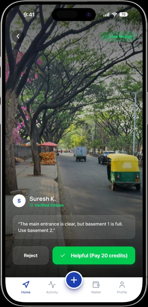
Traffic, parking, crowds — no algorithm shows the actual photo of the situation on the ground.
Families, commuters, and citizens suffer anxiety because they don't know what lies ahead.
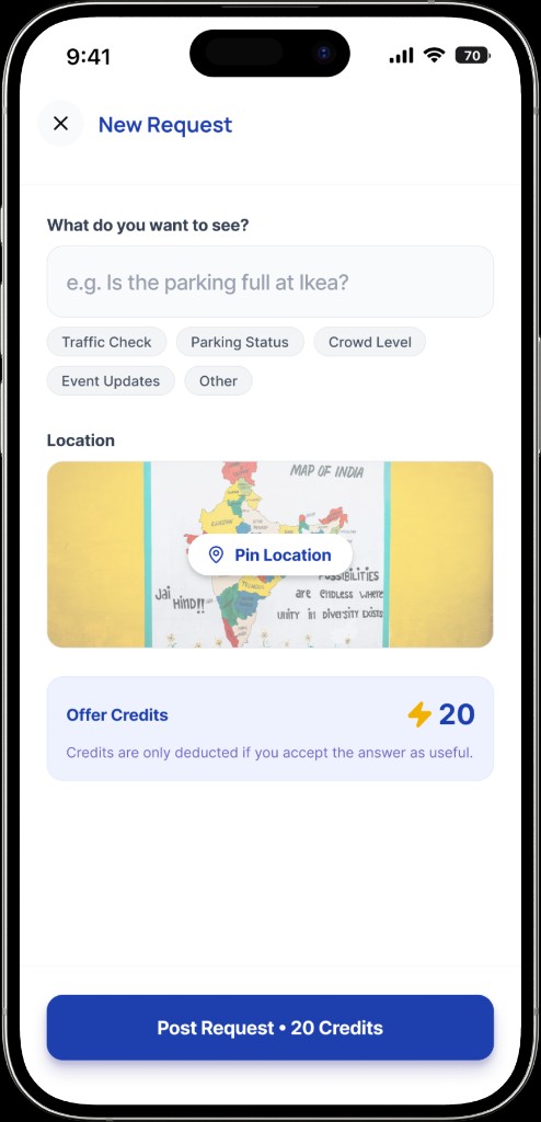
CapitReal bridges the gap between digital maps and physical reality with human intelligence.
From commute chaos to weekend plans, see it before you step out.
Going from Kondapur to Madhapur? Check live updates along your entire path before starting.
Is the junction jammed? Is parking full? See the photo proof.
Is the queue too long? Is the train delayed?
Is the mall too crowded? Is the park open?
Is the street lit? Is the area safe right now?
Water logging? Road accidents? Know first.
Get the truth in 3 simple steps.
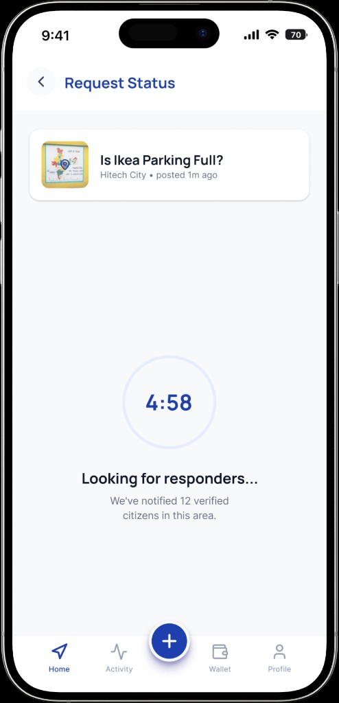
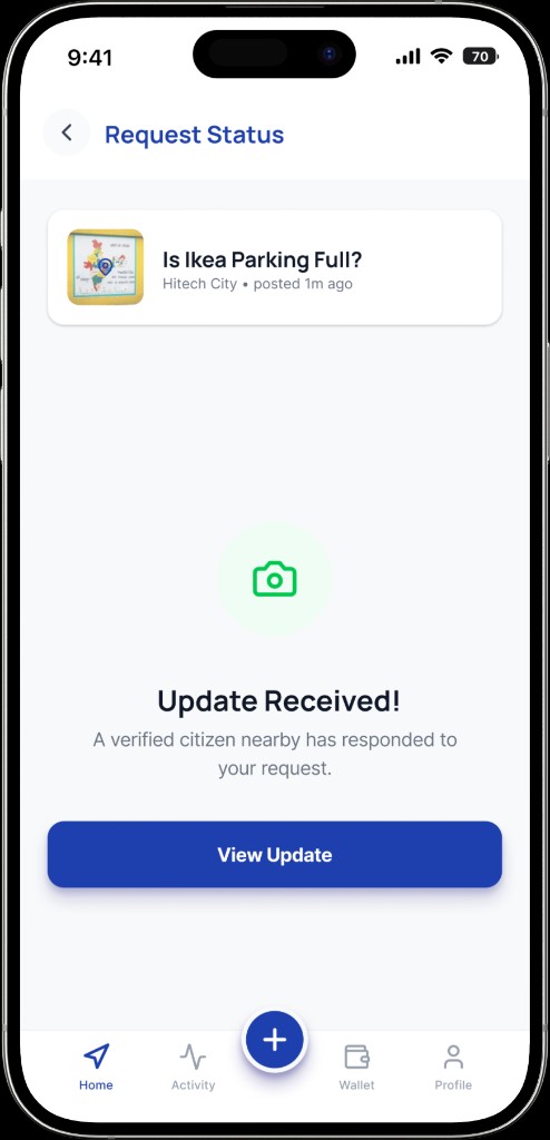
Credits ensure seriousness. No spam. No fake updates.
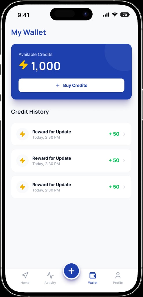
We designed CapitReal to be a reliable civic utility, not a social media toy. Every feature is engineered to prevent misuse and promote truth.
Harmful content blocked automatically.
Real-time density heatmaps for city planning.
No sensors needed. Just existing smartphones.
Manage large events with citizen eyes.
Deploy city-wide in 24 hours.
Empower your city administration with ground-level intelligence. CapitReal acts as a transparent, auditable, and citizen-powered extension to your existing command centers.
Partner with UsCurrently piloting in Telangana & Karnataka.